The Philippines will soon be sending its own satellites into space, a move that would help improve and strengthen the country’s capabilities in disaster management, weather forecasting, agriculture, mining, fisheries, and forestry.
Through the Department of Science and Technology’s Philippine Scientific Earth Observation Micro-Satellite Program (Phil-Microsat), the country will launch its micro-satellite, called Diwata, in 2016, while the other satellite will be set off in 2017.
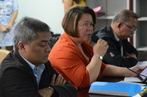
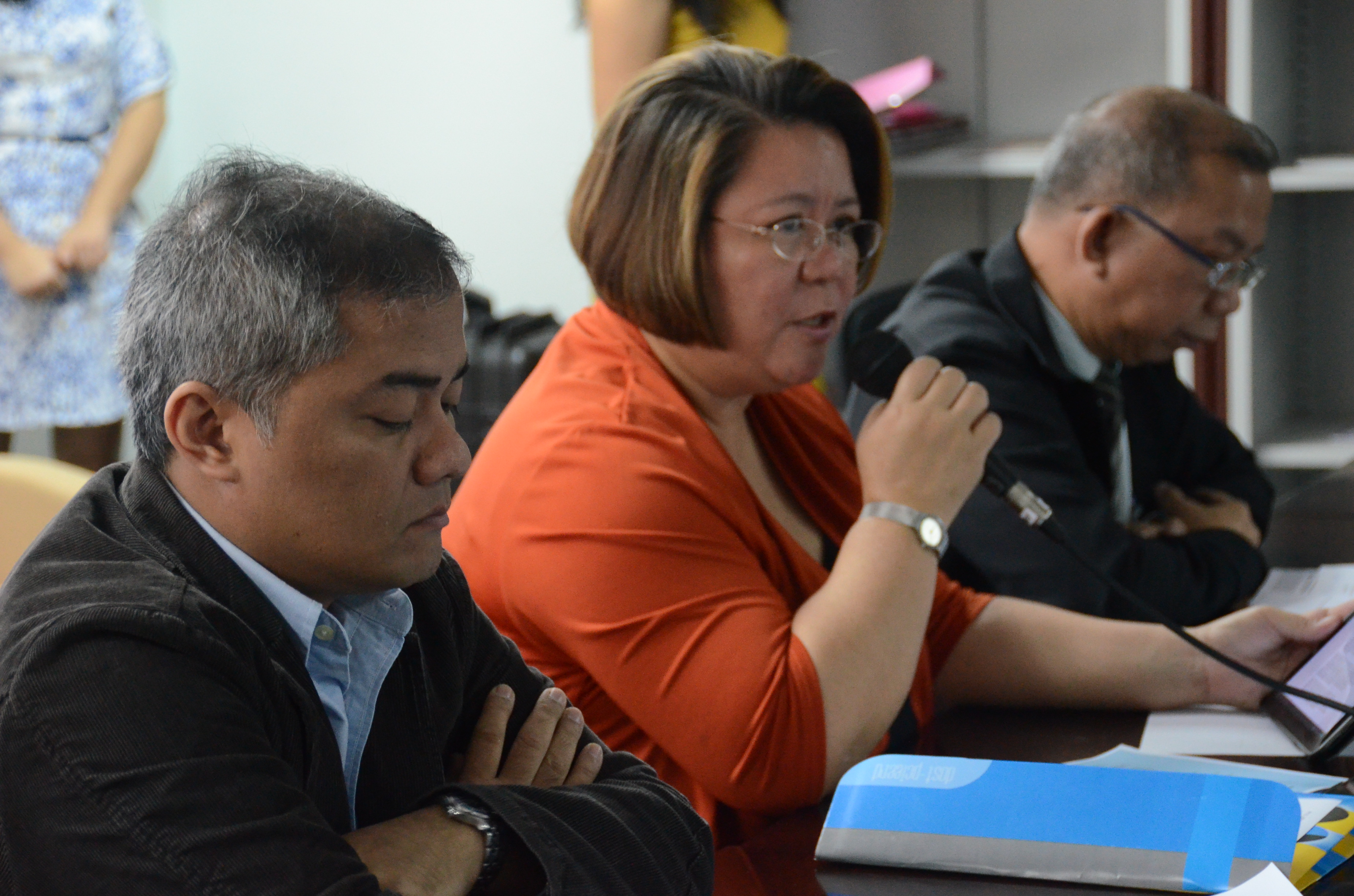
DOST Undersecretary and concurrent Executive Director of the Philippine Council for Industry, Energy and Emerging Technology Research and Development (DOST-PCIEERD) Rowena Cristina Guevara (middle) announces to the media the Philippine Scientific Earth Observation Micro-Satellite Program or Phil-Microsat that is set to develop and launch two microsatellites in space in 2016 and 2017. Also in photo (from left) are Phil-Microsat project leader Dr. Joel Marciano Jr. and DOST-PCIEERD Deputy Executive Director Raul Sabularse. DOST PHOTO
According to the DOST, micro-satellites are small artificial satellites with low mass and size and usually weigh under 500 kgs. This type of satellite is much cheaper to develop and mass produce. Micro-satellites cost around US$3-5 million while larger satellites would cost US$100 million to develop. This cost does not include the launcher that costs around Ph50 million.
During the formal media launch of the country’s venture into the space technology, newly installed DOST Undersecretary for S&T Services and concurrent Philippine Council for Industry, Energy and Emerging Technology Research and Development Executive Director Rowena Cristina Guevara said the country’s venture into micro-satellite technology will not only save billions of public money but will also help local experts develop high level capabilities in space technology.
“Let us not look too much on the cost of our investments in space technologies,” explains Usec Guevara. “But, rather, let us look at how it will give us development capabilities.”
Micro-satellites can be sent on missions that larger satellites could not accomplish, such as constellations for low data rate communications, using formations to gather data from multiple points, in-orbit inspection of larger satellites, and enables university-related research.
DOST is now collaborating with two Japanese universities, the Tohoku University and Hokkaido University, in building its capabilities in micro-satellite technology. Presently, project staff from UPD-EEEI are having hands-on training in developing Diwata.
Along with the micro-satellites, the DOST will also establish its ground receiving station called Philippine Earth Data Resources Observation, or PEDRO, in Subic Bay Satellite Service Facility.
Satellite data and images are vital tools in studying various weather patterns, agricultural conditions, marine behavior, and forest degradation which is needed to make important decisions especially in the field of disaster risk management. Currently, the country uses cutting-edge sensor technologies to improve weather forecasting to mitigate the loss of lives and properties during typhoons.
Other immediate possible uses of satellite data can be seen in the mining industry, territorial border surveillance, and national security.
The first micro-satellite will be orbiting the Earth for a year with an altitude of 400 kilometers from the ground. It has a diameter of 550x550x350 millimeters and will be passing the Philippine islands four times a day with a duration of six minutes per pass. It can capture 900 images per pass. Diwata belongs to the 50-kilogram classification of micro-satellites.
The second installment of the twin micro-satellite program is now undergoing development studies in UP and is expected to hover into space at a much longer time due to its higher altitude flight.


